

fetching latest news
News tagged in:

Halliburton Company and TGS-NOPEC Geophysical ASA announced a collaboration to bring advanced seismic imaging to fiber optic sensing. The alliance will provide operators with advanced insight to determine their reservoir potential for oil and gas production or carbon storage. The Halliburton FiberVSP™ and Odassea™ distributed acoustic sensing solutions will now incorporate TGS's seismic imaging workflows that process the entire seismic wavefield to generate high-resolution reservoir images.

UK-based Geoteric has launched two new seismic interpretation products, Collaborative AI and Geoteric Stratum. Collaborative AI complements the existing Geoteric workflows. It enhances traditional interpretation, and efficiently extracts faults from seismic data. While, Geoteric Stratum is a new cloud-based AI software that delivers simple usability and even greater detail for fault identification, reservoir compartmentalization, and well trajectory planning. Geoteric's products enable faster and more accurate results.

Bluware has landed an AI deal with British oil major bp. Bluware had entered into an agreement with bp to improve its ability to interpret seismic data. Financial terms remain undisclosed. Large seismic data sets are difficult to move and use in workflows. The interpretation of these data sets is also time-consuming. Using this tool, geoscientists can interactively train and correct deep learning results, thereby, improving structural interpretation workflows.

French Geoscience company, CGG has informed about concluding its withdrawal from the marine seismic acquisition business. CGG farmed out the marine seismic acquisition business in a strategic partnership transaction to Shearwater GeoServices. CGG also informed about the creation of a joint venture under the Sercel brand for the research and development, manufacturing, commercialization, and support of marine streamer seismic acquisition equipment.
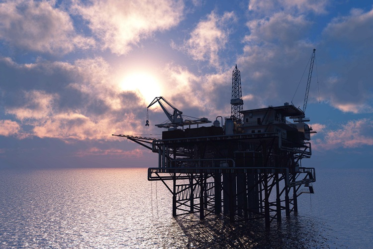
Shearwater has won 2D/3D seismic project offshore Southeast Asia. This survey will be executed using SW Vespucci Multi-Purpose Vessel. Under the scope of this contract, 1,600 km² area will be covered for the 3D seismic survey. “The MPV platform is ideally suited for clients with diverse project requirements”, said CEO of Shearwater GeoServices. SW Vespucci is capable of conducting source, 2D, 3D, and ocean bottom nodal seismic acquisition.

Oilfield services giant, Schlumberger has entered into a strategic collaboration with TGS on a new 3D seismic reimaging project. The project will see the reimaging of data from three overlapping seismic surveys across 3,600 sq km. Evidently, the seismic reimaging data is the only available 3D data in this area of the Red Sea. TGS and Schlumberger will deploy their proprietary geophysical services product line, WesternGeco on the project.
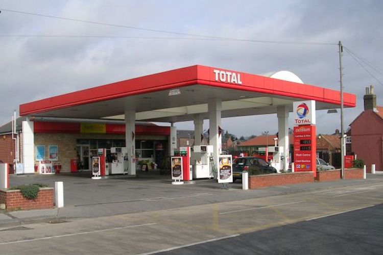
4D seismic survey for Tyra, Tyra SE and Roar fields of Total has been awarded to Shearwater GeoServices. This survey will be performed by Shearwater’s SW Amundsen vessel. The company has 20 years of experience in 4D source and streamer position, fleet and towing equipment, and sensor technologies. “We are pleased to see Total’s selection of the Isometrix multi-sensor acquisition system for their North Sea 4D season", said Shearwater's CEO.
A strategic collaboration has been announced between oilfield service firm Schlumberger and survey service firm TGS. This is to assist multi-client ocean-bottom node projects in the deepwater Gulf of Mexico. Under the agreement, TGS will work with Schlumberger's geophysical services company WesternGeco. CEO of TGS informed that "We are working closely with our clients to plan future phases and are excited by the potential growth in exploration and production activity,”.

French supermajor Total has signed a contract with the UK-based Specialist Marine Consultants for providing seismic support services to its operations globally. A statement from the Managing Director, Ian Coates reads, “SMC sees this as a significant step in our expansion within the oil and gas market and our work with total represents further growth for us within the seismic exploration sector.”
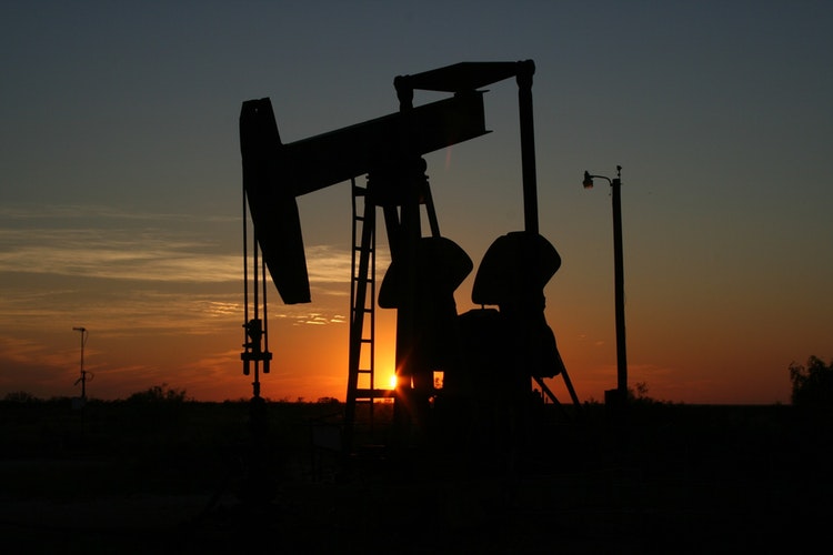
The Government of India is expecting hydrocarbon exploration area to double to 300,000 sq km by 2020. While the first round of licensing under OALP has already increased the exploration area to 150,000 sq km last year, the second and third rounds are expected to double this figure. An official from DGH revealed that the access to seismic data has enabled the government to offer new acreages to companies.
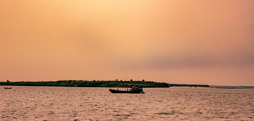
According to sources, India’s ONGC is trying to find out the location and size of oil and gas reservoirs at Ganga basin near Kasganj-Etah-Farrukhabad border. Seismic data survey is being done in order to get the details of the rock types and their locations beneath the surface of the Earth. Seven-member team is completing the survey by digging small borewells at a farm in the Tajpur Tigra village of Patiyali.

To further strengthen Emerson’s end-to-end exploration and production software portfolio it has launched Roxar Tempest 8.2 – the latest version of its reservoir management software, bringing advanced uncertainty analysis tools and increased support to the Big Loop workflow and robust risk analysis and reserves estimates across the seismic to simulation workflow.

On the Zapadno-Chernomorskaya license area offshore the Black Sea, Rosneft has successfully completed drilling of the first super-deep exploration and appraisal well Maria-1. A unique carbonate structure with 300 m gross interval was discovered while drilling this well which has opened up the possibility to discover large oil and gas fields in the Russian Black Sea waters. This extensive drilling was possible due to comprehensive seismic surveys and geological studies.

Oklahoma is placing stringent norms which are to be followed for 'fracking' for there has been a study which reveals a new cluster of earthquakes in one of the hottest U.S. regions for drilling. The Oklahoma Corporation Commission has announced that all explorers must use seismic array for monitoring and detecting movement underground. It also lowered the threshold for pausing work from 3.0 magnitude to 2.5.